Travel Diary in Asia; info and video, images and comments, adventures story in Asia. Tips, maps, trek route, geographic and history-cultural info.

Out of Asia


The pictures' album of Mamilu

Burma

One of our trips took us to Yangon [Rangoon] in February 2005 and, coming from Thailand, the first impact that you feel is the obvious influence of neighboring India, both in architecture and in features and habits of the population.
 

It is very difficult for tourists to experience the presence of the dictatorship in the areas granted to the visit are quiet and clean and free of any obvious problems.

The Temples of Yangoon and its mainly Buddhist Pagoda are majestic and beautiful.


The tough military regime that controls Burma (now Myanmar) is not noticeable from the tourists, who can easily visit the country without any special restrictions or control, including at the airport customs.
The Temple of Yangoon, placed on top of a hill in the center of the capital, is the destination of pilgrimage for people to climb stairs using a special blanket and decorated in what is called run barefoot, as in any other sacred place in Burma.
 

Buddhist monasteries are normally housed and feed the orphans and the poor.

The life of the monks inside of them is serene and quiet and is allowed access to visitors.
The presence of the animist religion and the nearby Indian culture influence the artistic expression of religious Buddhism of Burma.
At Yangoon was recently made a copy of the old palace which belonged to the King that invaded Thailand in the second half of '700.
The King Burmese occupied Thailand in 1767 and destroyed Ayuttaya, the ancient capital of Siam.
But an invasion was short because strong domestic problems and had to hastily retreat back to his palace in Yangon which was then in turn destroyed by internal opponents.
Burma was colonized by England since 1842, when Great Britain invaded the territory and annexed by the Anglo-Indian, then the British built the usual colonial infrastructure and transformed the country into one of the largest exporters of rice.


Indians and Chinese arrived with the British, were added to the already complicated mix of race.
Myanmar Country
Pyidaungsu Myanmar Naingngandaw

Burma - Mianmar

Area: 676,777 km ²
Population: 41,997,700 (estimated 2002)
Density: 63 inhabitants / km ²

Form of government: military regime
Capital: Rangoon (3975500 inh.)
Other cities: Mandalay 566,000 inhabitants., Bassein 349,000 inhabitants., Pegu 259,000 inhabitants., Moulmein 209,000 inhabitants.
Ethnic groups: Burma 73% 8% Shan, Karen 6%, other 13%
Neighboring countries: Bangladesh and India, China, Laos and Thailand.

The main mountains: Hkakabo Razi 5891 m
The main rivers: Irrawaddy 2192 Km, 1150 Km Salween (Burma part, total 2454 Km), Chindwin 850 Km, 540 Km Sittang
The main lakes: Indawngy 124 Km ², 140 km ² Moyingyi
The main islands: Ramree, Cheduba, Mergui Archipelago
Climate: tropical monsoon

Language: Burmese (official) and English
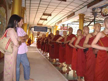
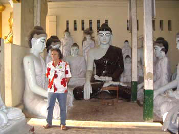
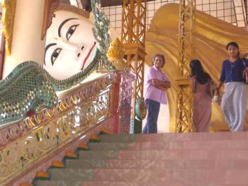
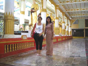
Religion: Buddhist 87%, Animist, Christian and Muslim
Currency: kyat in Myanmar

From 19 June 1989, the Asian country has changed its old name from Burma (Burma, in the English speaking world) in Myanmar.